A Mountain Range Is Larger Than Its Most Famous Peak
Great ranges contain forests, farms, deserts, glaciers, rivers, sacred places, cities, and communities as well as summits. Travelers can explore them by valley walk, scenic railway, road journey, hut route, guided trek, cultural stay, or technical expedition. The right approach depends on season, elevation, experience, permits, transportation, health, and the range’s environmental limits. Do not confuse seeing a mountain with needing to climb it. Many of the most memorable views come from low trails where geology, plants, wildlife, and local life remain visible together. The ranges below offer extraordinary scale and variety, but conditions change rapidly. Consult official information, use qualified local professionals when terrain exceeds hiking experience, and let closures or weather reshape the itinerary.
A: Parts of the Alps and Rockies offer extensive transit roads and maintained trails.
A: Remoteness varies greatly within every range and by season.
A: No technical snow ice rock and glacier travel require additional skills.
A: Yes on suitable lower routes with conservative altitude planning.
A: It depends on latitude elevation monsoon snow heat and local access.
A: Rules and risks vary but local expertise is often valuable.
A: Only when visas borders transport and time support a responsible pace.
A: Not without appropriate equipment training and qualified leadership.
A: Stay longer use established access and support local businesses.
A: Scale light ecology culture and the relationships between them.
The Himalaya Across South Asia
The Himalaya extend across several countries and contain the world’s highest peaks, major river headwaters, forests, plateaus, farms, monasteries, and diverse communities. Nepal offers established trekking systems, while India, Bhutan, Pakistan, and Tibet have different permits, access, and cultural contexts. No single itinerary represents the whole range.
Altitude demands conservative pacing and honest health decisions. Hire qualified local staff, verify porter conditions, and follow route rules. Monsoon, winter snow, landslides, earthquakes, road changes, and political access can alter plans. Lower valleys and foothills provide rich nature and culture without the physiological pressure of a high pass.
Pilgrimage, conservation, tourism, military access, and local livelihoods overlap throughout the range. Do not interpret a map line as automatic permission to travel. Sacred landscapes and border regions may have restrictions that change. Visitors should learn the correct local names, use authorized routes, and avoid presenting communities only as support systems for foreign trekkers. Cultural context belongs in every mountain itinerary.
The Karakoram in Pakistan and Neighboring Regions
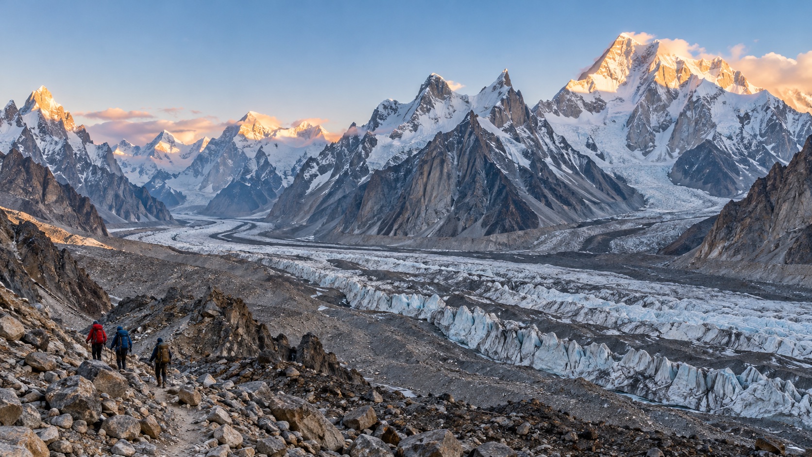
The Karakoram are defined by immense granite peaks, long glaciers, high desert valleys, and remote communities. Routes around the Baltoro Glacier and major base camps require expedition-style logistics even when travelers are not climbing. Access, permits, roads, weather, and security conditions should be verified through current official and experienced local sources.
Trekkers need acclimatization, strong fitness, cold-weather systems, waste planning, and reliable local leadership. Glacial moraine and river crossings can change. Porters and staff require appropriate equipment, insurance, loads, and rest. A road journey through lower valleys can reveal the range’s scale without committing to a remote multiweek trek.
The Andes From the Caribbean to Patagonia
The Andes run along western South America through tropical, high-altitude, desert, volcanic, and glaciated landscapes. Colombia, Ecuador, Peru, Bolivia, Chile, and Argentina offer distinct mountain cultures and access. Cloud forest, páramo, salt flats, archaeological sites, wine valleys, and Patagonia all belong to this vast system.
Altitude can arrive quickly in cities and road passes, so itineraries need recovery time before strenuous hiking. Weather and seasons differ dramatically by latitude. Use authorized guides where route finding, glaciers, or remoteness demand them. Respect Indigenous and local authority over sacred sites, trails, water, and photography. A single-country journey is often more coherent than racing the length of the range.
Andean cities can sit high enough to affect sleep and exertion before a trek begins. Schedule a calm arrival, eat and hydrate normally, and avoid immediately climbing higher. Road travel over passes may also produce rapid altitude changes. Where glaciers or volcanoes are involved, use qualified guides and current hazard information. A historic trail’s popularity does not reduce exposure to weather, rockfall, or medical delay.
The Rocky Mountains of North America
The Rockies stretch from Canada through the United States with glaciers, broad valleys, wildlife, forests, alpine tundra, and extensive protected lands. Banff, Jasper, Glacier, Yellowstone, Grand Teton, and Rocky Mountain are famous gateways, but provincial, state, Tribal, and national lands create many other experiences. Wildfire, smoke, snow, road closures, timed entry, and wildlife activity affect access. Follow food-storage and distance rules, carry bear spray where recommended, and understand the land manager’s regulations. Scenic roads and accessible viewpoints broaden participation, while backcountry routes require permits, navigation, and self-sufficiency. Learn whose ancestral lands the itinerary crosses.
The European Alps
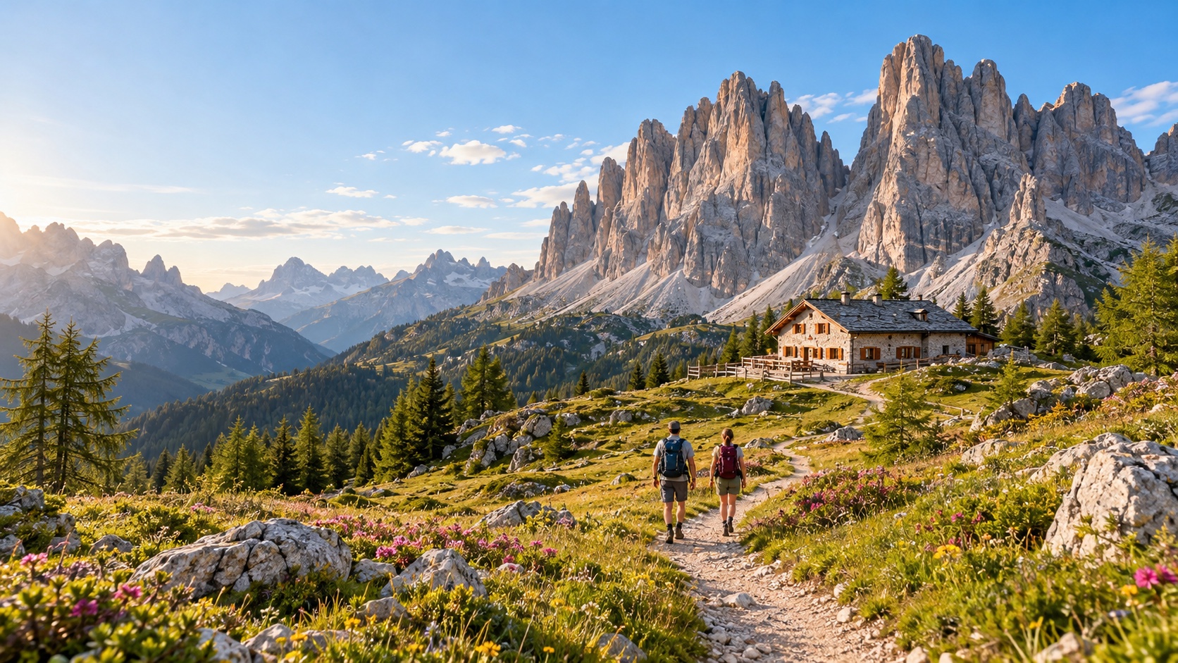
The Alps connect France, Switzerland, Italy, Austria, Germany, Slovenia, Liechtenstein, and Monaco through glaciers, limestone, meadows, forests, lakes, farms, villages, and cities. Railways, buses, lifts, huts, and marked paths make many areas accessible without a car. Trail systems still distinguish walking from alpine and technical routes.
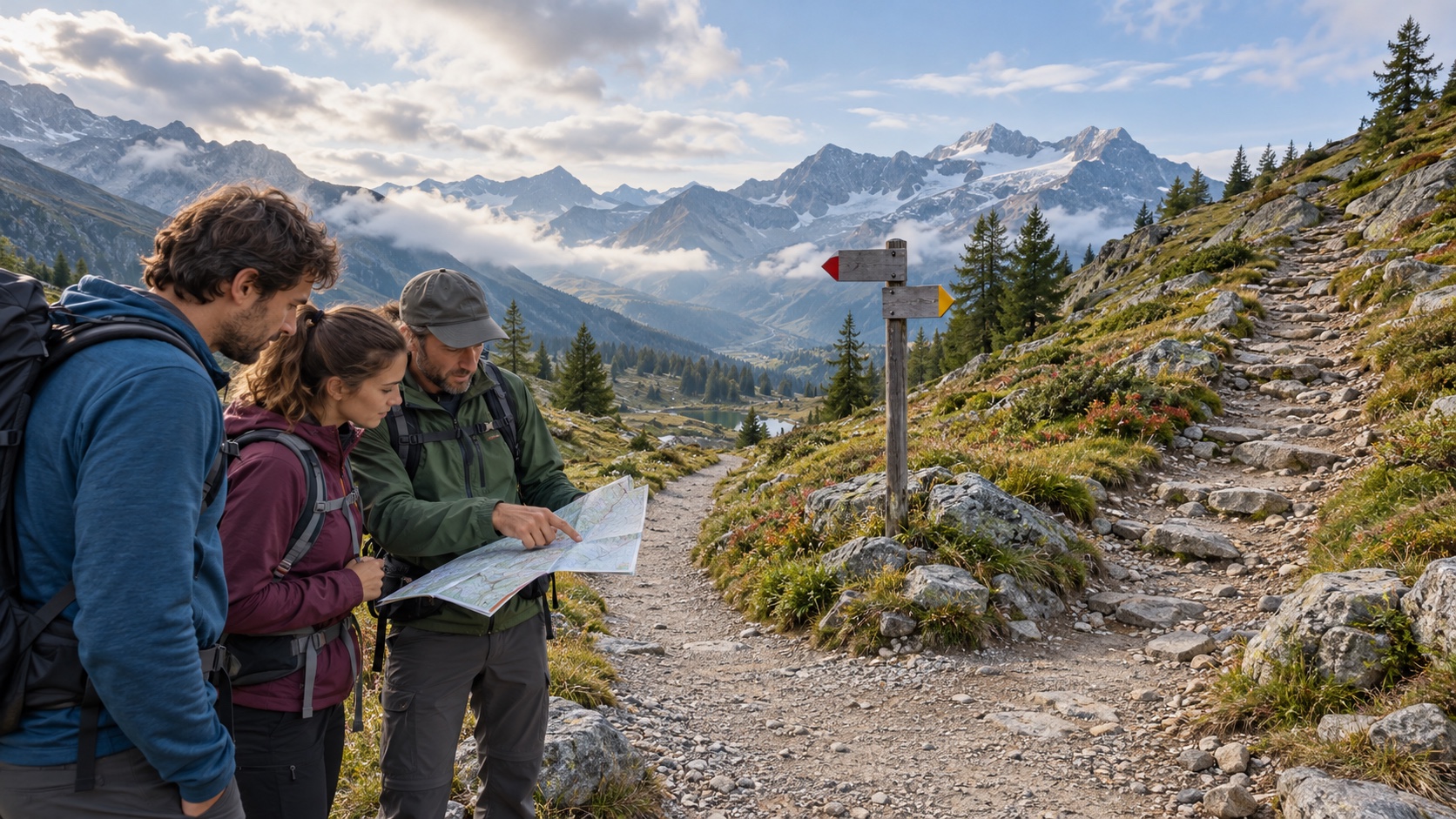
Choose one region rather than collecting countries. Snow, thunderstorms, heat, glacier retreat, and lift schedules change the practical season. Reserve huts, carry cash where needed, and respect grazing animals and private farms. Glaciers and via ferrata require proper instruction and equipment. Valley transit allows mixed-ability groups to share a base. Climate change is altering glaciers, permafrost, rockfall, water supply, and the seasons of safe access. Old photographs and guidebooks may no longer describe the route. Ask current authorities and guides about conditions rather than demanding the itinerary sold months earlier. Cable cars and huts may close for maintenance or hazard work. Flexibility is part of traveling responsibly in a rapidly changing range.
The Southern Alps of New Zealand
The Southern Alps divide New Zealand’s South Island and shape its glaciers, braided rivers, rainforests, alpine basins, and dry eastern landscapes. Managed tracks range from short walks to multi-day routes. Weather can change quickly as systems cross from the Tasman Sea, producing rain, wind, snow, flood, or avalanche conditions. Use Department of Conservation alerts, hut bookings, and biosecurity guidance. Never cross a flooded river or enter a closed track. Driving distances and one-lane roads require patience. Māori-led interpretation can connect mountains and waters with cultural knowledge when communities choose to share it. Concentrating on one region reduces long transfers.
The Greater Caucasus
The Greater Caucasus rise between the Black and Caspian seas across Georgia, Russia, and Azerbaijan, with high peaks, glaciers, pastures, forests, towers, and mountain villages. Travel access and border conditions vary significantly. Georgia provides well-known gateways in Svaneti, Kazbegi, and Tusheti, each with different roads and trail infrastructure.
Use current local information for permits, security, river crossings, and route marking. Guesthouses and resident guides support mountain economies. Respect churches, homes, farms, and livestock corridors. Early summer snow and autumn storms can close high passes. Less experienced hikers should avoid interpreting a visible village as proof that every connecting route is simple.
Tusheti and other seasonal regions may depend on high roads that close for winter or become difficult after storms. Vehicle quality, driver experience, seat belts, and daylight travel matter as much as the hike. Travelers should not pressure drivers to continue when conditions are poor. A slower stay in a reachable valley can offer stronger cultural and ecological understanding than forcing a remote crossing.
The Atlas Mountains of North Africa
The Atlas extend through Morocco, Algeria, and Tunisia, with the High Atlas offering prominent trekking gateways. Arid peaks, snow, terraced valleys, cedar forests, and Amazigh communities create a landscape very different from the European Alps. Heat, cold, altitude, water, and long road transfers all need planning.
Choose qualified local guides and ask about staff pay, accommodation, emergency plans, and community benefit. Earthquake recovery may affect particular valleys and infrastructure, so current information is essential. Dress respectfully, request photography permission, and conserve water. Summit attempts are optional; village and valley walks can provide deeper context.
The Scandinavian Mountains
The Scandinavian Mountains run through Norway and Sweden, combining fjords, plateaus, glaciers, birch forest, tundra, lakes, cabins, and Sámi homelands. Long summer daylight supports walking, while rapid weather change, snowfields, rivers, and wind still create risk. Winter travel introduces avalanche, cold, and navigation demands. Follow cabin, camping, fire, fishing, and access rules. Choose Sámi-owned experiences and avoid businesses that use clothing or symbols without authority. Rail and bus connections can support lower-impact itineraries, though remote trailheads require careful schedules. Famous viewpoints are only a small part of the range. Northern travel should account for fragile tundra, reindeer movement, and long distances between services. Winter darkness and summer daylight affect sleep and timing. Snowmobile, dog-sled, or off-road products need careful environmental and animal-welfare review. Travelers can use established rail, bus, cabin, and walking networks without seeking motorized access to every remote viewpoint.
The Drakensberg Southern Africa
The Drakensberg and Maloti ranges span South Africa and Lesotho with basalt escarpments, sandstone foothills, grasslands, waterfalls, rock art, and dramatic amphitheaters. Lower walks, guided cultural routes, and high traverses require different preparation. Summer thunderstorms and swollen rivers can develop quickly, while winter nights become very cold.
Check permits, border requirements, route marking, fire conditions, and rescue procedures. Protect rock-art sites by visiting with authorized guidance and never touching surfaces.
High routes may demand navigation in fog and strong wind. Locally owned lodging and guides can connect ecology, pastoral life, and history.
The Japanese Mountain Ranges
Japan’s mountains include the Northern, Central, and Southern Alps, volcanic ranges, forested pilgrimage routes, and peaks across several islands. Rail and bus systems reach many gateways, while mountain huts and lifts operate seasonally. Typhoons, deep snow, heat, rain, and volcanic alerts can close routes. Shared huts require punctual arrival, quiet behavior, reservations, and respect for meal and bathing systems. Chains and ladders may appear on marked trails. Lower forest walks, hot-spring towns, and cultural routes offer alternatives for visitors without alpine experience. Carry waste according to local systems and follow posted restrictions precisely. Range-wide travel creates temptation to count borders and famous peaks. Resist it. One watershed or valley can show rock, forest, agriculture, weather, and community change across elevation. Repeating a familiar path in morning and evening light often reveals more than a long transfer to another headline location. Depth also makes cancellations easier because the trip is not balanced on one essential day. Insurance and emergency systems differ sharply across ranges. Confirm coverage for altitude, trekking, guided technical activity, helicopter rescue, and the exact country. Some rescues require payment guarantees or cannot operate in poor weather. Carry local emergency contacts and do not treat a satellite device as a promise of rapid extraction. Prevention and conservative decisions remain the strongest protection. Travelers should also ask how climate pressure affects residents. Glacier loss, drought, wildfire, floods, and unreliable snow influence water, farming, energy, and employment. Listen to local explanations rather than using visible change as a dramatic vacation backdrop. Support institutions and businesses that communicate adaptation honestly and avoid demanding resource-intensive comfort in a stressed season. Local guides contribute more than navigation. They interpret weather, land use, language, wildlife, history, and the practical limits of access. Verify qualifications appropriate to the activity and agree on group size, equipment, wages, tips, and cancellation rules. Respect a guide who turns back; that decision demonstrates professional responsibility rather than a failure to deliver.
Explore One Range Slowly
A range reveals itself through changes in elevation, weather, water, vegetation, and settlement. Choose a gateway with several trail levels, allow rest and bad-weather days, and learn the region’s history and living cultures. Public transportation and longer stays can reduce repeated transfers while directing spending to local businesses.
Do not force a summit, glacier crossing, or high pass for proof that the trip mattered. Use official information, conservative altitude planning, suitable equipment, and qualified guides. The most beautiful range is often the one a traveler understands well enough to respect its boundaries and leave safely.