River Length Is a Useful Estimate, Not a Perfect Scoreboard
Lists of the longest rivers look precise, yet a river has no painted starting line. Researchers must decide which distant tributary counts as the source, trace shifting channels, measure curves at a chosen scale, and identify an endpoint through a delta or estuary. Different defensible methods can change both distance and order, especially in the famous Nile–Amazon comparison. The most useful question is therefore not simply which river wins. It is where each connected system begins, which landscapes and communities it links, and how water and sediment travel toward the sea. The approximate lengths below provide orientation, while the journeys emphasize individual reaches that travelers can understand without pretending to experience an entire continent-spanning watershed.
A: The answer depends on source endpoint and measurement decisions.
A: Width discharge and length are different measurements.
A: Channels shift and researchers define river systems differently.
A: Most should explore one reach rather than rush across many borders.
A: Major systems often have several plausible headwater tributaries.
A: Two channels join and combine water sediment and ecological influence.
A: Water divides among shifting distributaries before reaching the sea.
A: Methods may trace the submerged channel or modern watercourse differently.
A: Often but some very long systems remain largely within one country.
A: Use a scale suited to the question and apply it consistently.
Nile: East Africa to the Mediterranean
The Nile system is commonly listed at about 6,650 kilometers, or 4,132 miles, though estimates depend on how its most distant source is defined. The White Nile drains parts of the Great Lakes region and meets the Blue Nile, which rises in Ethiopia, at Khartoum. From Sudan, the combined river travels north through Egypt and spreads into a Mediterranean delta.
Travelers often encounter the river between Luxor and Aswan, where boats pass fields, islands, towns, and desert margins. This accessible reach is only a small portion of a basin shared by many countries.
Its dams, irrigation, wetlands, and transboundary agreements matter as much as ancient monuments. A qualified guide can connect archaeological landscapes with present-day farming and water management. Verify current border guidance before planning any multi-country route, and never assume that a navigable tourist segment represents conditions upstream.
Amazon: Andes to the Atlantic
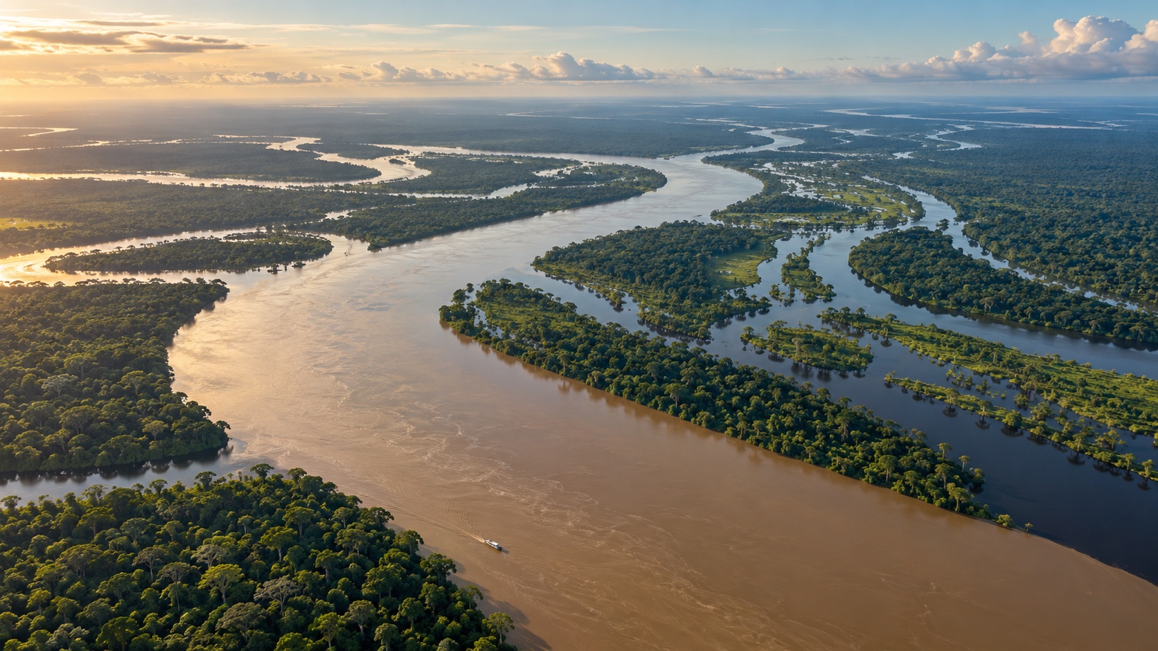
The Amazon is frequently estimated near 6,400 kilometers, or 4,000 miles, but proposed Andean sources and the choice of Atlantic outlet can produce different results. From western South America, the system gathers countless tributaries across the continent and reaches the ocean through a vast estuarine region. It carries more water than any other river, a distinction separate from length. Iquitos, Manaus, Santarém, and protected tributary regions offer practical gateways. Sediment-rich water, darkwater rivers, seasonally flooded forest, and enormous channel widths show why a single image cannot summarize the basin. Choose operators with trained naturalists, safe boats, responsible wildlife policies, and clear relationships with communities. Long transfers, heat, rain, and rapidly changing levels require flexibility.
Yangtze: Tibetan Plateau to Shanghai
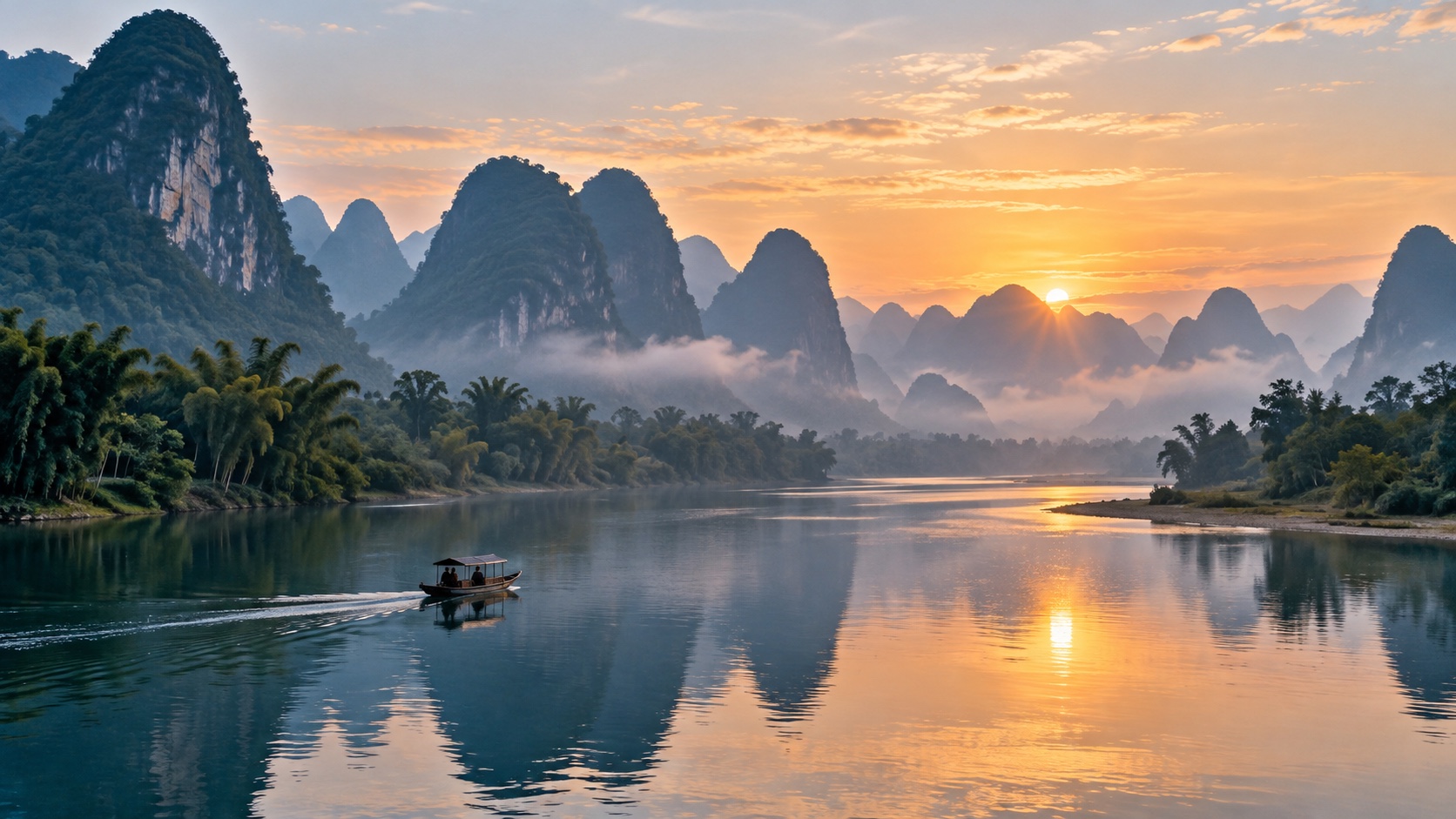
At roughly 6,300 kilometers, the Yangtze is generally recognized as Asia’s longest river and the longest contained within one country. It rises on the Tibetan Plateau, crosses high gorges and the Sichuan Basin, passes major cities and engineered landscapes, and reaches the East China Sea near Shanghai.
The Three Gorges region is its best-known visitor corridor, although dams and reservoirs have profoundly altered the channel and surrounding settlements. Cruises provide scale but should be paired with museums, viewpoints, or local guides that explain migration, power generation, flood control, and ecological change.
Farther downstream, urban waterfronts reveal the river as infrastructure and trade route. Conditions, access, and domestic travel rules can change, so consult official information. Rather than claiming to “do the Yangtze,” choose one landscape and understand how it connects plateau water to a densely populated delta.
Mississippi–Missouri: Continental Interior to the Gulf
Measured as a connected Mississippi–Missouri system, this North American network is commonly placed among the world’s longest at about 6,275 kilometers. The Missouri gathers water from the western interior before meeting the Mississippi near St. Louis; the combined river continues south to a complex delta on the Gulf of Mexico.
No single road follows every natural channel, and many banks are industrial, private, leveed, or seasonally flooded. Good visitor perspectives include public riverfronts, national historic sites, wetlands, museums, and licensed excursions. New Orleans interprets the river’s commerce and delta cultures, while upper reaches tell different stories of Indigenous homelands, navigation, agriculture, and engineering. Respect closures and never walk onto exposed mud or structures without authorization. The basin’s flood risk and land-loss challenges are essential context, not detours from the scenery.
Yenisei–Angara–Selenge: Mongolia to the Arctic
Depending on the headwater chain used, the Yenisei system is often measured through the Angara and Selenge at more than 5,500 kilometers. Water from Mongolia reaches Lake Baikal through the Selenge, exits via the Angara, joins the Yenisei, and flows north across Siberia to the Kara Sea. This definition demonstrates why a named river’s length may differ from its longest connected path. Lake Baikal and parts of the Selenge basin are more practical travel contexts than an attempted end-to-end route. Distances are vast, climate is severe, and access can be limited. International conditions and entry rules require current official checks. Use established transport and guides, observe protected shore regulations, and recognize industrial and hydropower impacts. A map-based understanding may be more responsible than trying to reach remote Arctic sections with little visitor infrastructure.
Yellow River: Plateau Sediment to the Bohai Sea
The Yellow River, or Huang He, extends approximately 5,464 kilometers across northern China. Its headwaters rise on the Tibetan Plateau, and its course bends through arid regions, the Loess Plateau, plains, and cities before reaching the Bohai Sea. Fine yellow sediment gives the river its familiar name and has raised channels, built floodplains, and contributed to devastating historical floods.
Accessible landscapes vary from upland wetlands to gorge viewpoints and urban promenades. Choose maintained public sites and learn why levees, dams, diversions, and soil conservation shape the modern river.
Seasonal flow and sediment conditions affect appearance, so promotional images should not set expectations. Visits are strongest when regional museums or guides connect geology with farming and settlement. Check present access rules, especially in remote headwater or protected areas, and avoid treating vulnerable plateau environments as open driving terrain.
Ob–Irtysh: Central Asian Headwaters to the Arctic Ocean
The Ob–Irtysh system is generally counted at around 5,410 kilometers when traced through its longest tributary path. The Irtysh begins in the Altai region, flows through China and Kazakhstan into Russia, and joins the Ob before the combined water reaches the Gulf of Ob and Arctic Ocean. Reservoirs, steppe, wetlands, forests, and large industrial cities lie along the network.
This is not a conventional continuous tourism route. Distances, visas, weather, language, and regional conditions require careful research. City riverfronts or an established nature reserve can provide a meaningful window without risky independent travel. Use current official travel advice and local expertise. Arctic and wetland ecosystems are sensitive, and informal motorized access can cause damage. Understand that tributary-based rankings describe a hydrological connection, not one uniformly named channel that visitors can simply follow.
Paraná: Brazilian Highlands to the Río de la Plata
The Paraná flows roughly 4,880 kilometers from Brazil through or along Paraguay and Argentina before joining the Uruguay River system in the Río de la Plata estuary. Its basin includes major wetlands, dams, farms, cities, and tributaries associated with Iguazú Falls. The broad lower river divides around islands and floodplains before approaching Buenos Aires. Visitors might experience different facets from the Argentine wetlands, Rosario’s waterfront, or a responsible excursion within the delta near Tigre. Boat captains should follow navigation rules and reduce wake near homes and marsh edges. Itaipu and other dams demonstrate the scale of regional power infrastructure, while wetland guides can explain birds, fish, fire, flooding, and ranching. Avoid combining distant highlights into an exhausting checklist. A few days in one area allows changing water levels and community life to become visible.
Congo: Equatorial Basin to the Atlantic
At approximately 4,700 kilometers, the Congo is Africa’s second-longest river and one of the world’s greatest by discharge. Its immense basin crosses the equator, gathering water through rainforest, wetlands, tributaries, rapids, and navigable reaches before descending toward the Atlantic. The river’s depth, power, and complex channels make it fundamentally different from a continuous scenic cruise route.
Travel planning is highly location-specific. Security, health, permits, transport reliability, and border conditions can change, and independent river journeys may be inappropriate. Consult current official guidance and experienced organizations rather than relying on romantic expedition accounts. Where responsible visits are feasible, prioritize qualified local leadership and realistic logistics. The basin is home to millions of people and globally significant ecosystems; descriptions should not erase communities by presenting it as untouched emptiness. Mining, forestry, fisheries, and conservation all shape its present.
Lena: Lake Baikal Region to the Laptev Sea
The Lena runs about 4,400 kilometers almost entirely through Russia, beginning near the Lake Baikal region and flowing north to an enormous Arctic delta. Forest, permafrost terrain, braided channels, cliffs, and seasonal ice define much of its route. The Lena Pillars, striking rock formations upriver from Yakutsk, are among its better-known visitor landscapes.
Even an organized excursion involves long distances, weather dependence, and a short seasonal window. Use licensed transport and guides who understand cold-water risks and local rules.
The remote delta is not a casual extension of a city visit. Research access, permits, and current travel conditions carefully. Permafrost change, wildfire, ice timing, and Arctic ecosystems provide essential scientific context. Travelers can value the Lena’s scale through maps and one well-planned reach without seeking every endpoint.
Mackenzie System: Great Slave Lake to the Beaufort Sea
Canada’s Mackenzie River proper flows from Great Slave Lake to the Beaufort Sea, while a longest connected headwater system measured through the Peace and Finlay reaches roughly 4,200 kilometers. This naming distinction is why tables may label the entry “Mackenzie–Slave–Peace–Finlay.” The network drains a vast northern region of lakes, wetlands, forest, and tundra. Communities along the river are not service stops on an empty frontier. Indigenous histories, rights, languages, and contemporary leadership should shape how visitors understand the watershed. Road access is limited and aviation or boats can be costly and weather-sensitive. Arrange travel through established local providers, prepare for insects and cold, and follow community protocols. Delta habitats are particularly sensitive. A respectful trip might focus on one community, cultural center, or guided section rather than attempting an extractive “source to sea” conquest.
Build a Journey Around Connections, Not Rankings
Choose a river reach because it reveals a relationship: plateau to gorge, tributary to main stem, city to port, wetland to delta, or community to floodplain. Then compare multiple maps and note what the chosen length actually measures. An itinerary becomes clearer once the ranking stops pretending to be the experience.
Plan around seasons, legal access, and realistic transport. Major rivers cross jurisdictions with different safety requirements, and water conditions can override reservations. Finally, look downstream as well as ahead. Water use, dams, pollution, sediment, and conservation in one place affect another. The world’s longest rivers matter not because they win a tidy contest, but because they connect distant climates, economies, habitats, and lives across extraordinary distances. Keep a small field record as you travel: the river’s local and official names, the tributary you crossed, the direction of flow, the day’s water level, and what residents say has changed. Compare those observations with a basin map after returning home. This simple habit replaces vague impressions of size with a connected picture of landscape. It also makes clear why a numbered ranking can introduce these rivers but can never contain their meaning.